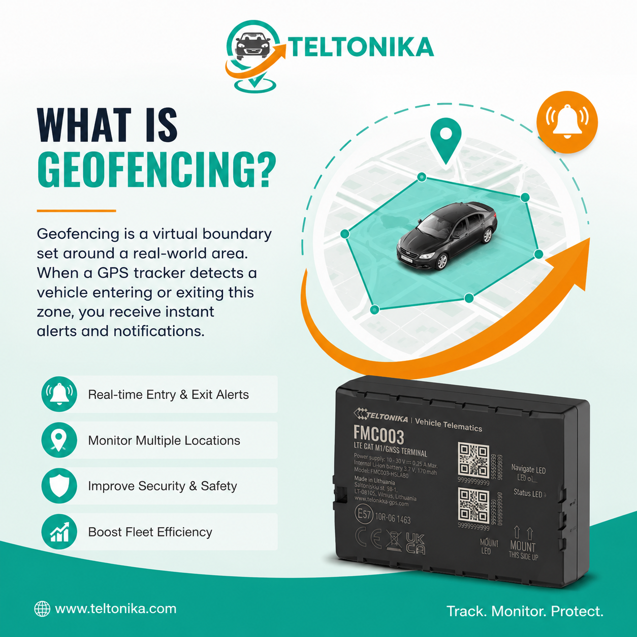
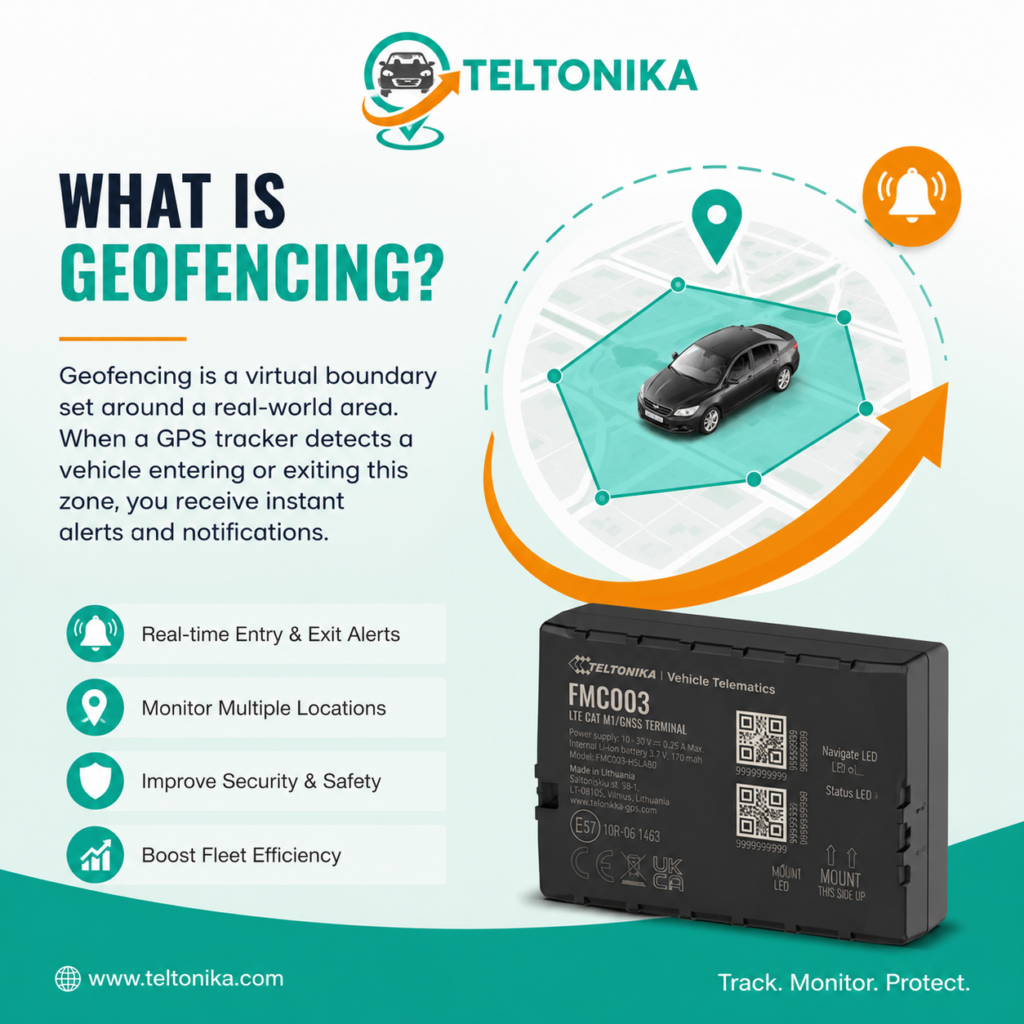
A geofence is a virtual boundary drawn around a real place. What is geofencing? When a GPS tracker reports a position that crosses the boundary, the platform can create an entry, exit or dwell event and notify authorised users.
This guide is for vehicle owners and fleet users learning how location-based alerts work. It focuses on the practical buying and operating decisions that determine whether tracking remains reliable after the initial installation.
At-a-glance recommendation
| Situation | Recommended starting point | Why |
| Home or depot | Unexpected exit | Theft or unauthorised movement |
| Customer site | Arrival and departure | Attendance and dwell records |
| Restricted area | Entry | Policy or safety review |
| Storage yard | After-hours exit | Asset-security response |
How a geofence works
The platform compares each timestamped position with a stored circle or polygon.
Start by translating this point into a testable requirement. Specify the asset, expected event, acceptable reporting delay and person responsible for responding. This prevents the buying decision from being reduced to a list of attractive but unused features.
An entry occurs when a point moves from outside to inside; exit is the reverse.
Use representative vehicles, locations and operating hours during a trial. Performance on a desk or in a metropolitan car park may not represent storage yards, regional roads, steel structures or long periods without power.
Dwell rules require the asset to remain within or outside for a defined period.
Document the selected configuration and review it after the first month. Reporting intervals, alert thresholds and permissions often need refinement once real movement patterns become visible.
Circles and polygons
Circular fences are quick to create and suit simple sites.
Start by translating this point into a testable requirement. Specify the asset, expected event, acceptable reporting delay and person responsible for responding. This prevents the buying decision from being reduced to a list of attractive but unused features.
Polygons follow irregular property or operating boundaries more accurately.
Use representative vehicles, locations and operating hours during a trial. Performance on a desk or in a metropolitan car park may not represent storage yards, regional roads, steel structures or long periods without power.
Larger fences reduce edge noise but provide less precise arrival timing.
Document the selected configuration and review it after the first month. Reporting intervals, alert thresholds and permissions often need refinement once real movement patterns become visible.
Security uses
A parked-vehicle fence can report unauthorised departure.
Start by translating this point into a testable requirement. Specify the asset, expected event, acceptable reporting delay and person responsible for responding. This prevents the buying decision from being reduced to a list of attractive but unused features.
Combine it with ignition, movement and schedule rules to reduce false alarms.
Use representative vehicles, locations and operating hours during a trial. Performance on a desk or in a metropolitan car park may not represent storage yards, regional roads, steel structures or long periods without power.
No alert guarantees recovery; recipients need a safe response procedure.
Document the selected configuration and review it after the first month. Reporting intervals, alert thresholds and permissions often need refinement once real movement patterns become visible.
Fleet and service uses
Depot departures, customer arrivals and site dwell can automate operational records.
Start by translating this point into a testable requirement. Specify the asset, expected event, acceptable reporting delay and person responsible for responding. This prevents the buying decision from being reduced to a list of attractive but unused features.
Boundary size should reflect parking location, roads and normal GPS variation.
Use representative vehicles, locations and operating hours during a trial. Performance on a desk or in a metropolitan car park may not represent storage yards, regional roads, steel structures or long periods without power.
Events should feed a real workflow rather than fill an unused inbox.
Document the selected configuration and review it after the first month. Reporting intervals, alert thresholds and permissions often need refinement once real movement patterns become visible.
False alerts and troubleshooting
GNSS drift near a boundary can create repeated entry and exit events.
Start by translating this point into a testable requirement. Specify the asset, expected event, acceptable reporting delay and person responsible for responding. This prevents the buying decision from being reduced to a list of attractive but unused features.
Sparse reporting may record a crossing late or miss a short visit.
Use representative vehicles, locations and operating hours during a trial. Performance on a desk or in a metropolitan car park may not represent storage yards, regional roads, steel structures or long periods without power.
Increase boundary size, add dwell time or improve device placement and reporting.
Document the selected configuration and review it after the first month. Reporting intervals, alert thresholds and permissions often need refinement once real movement patterns become visible.
Privacy and administration
Geofences can reveal work patterns and sensitive locations.
Start by translating this point into a testable requirement. Specify the asset, expected event, acceptable reporting delay and person responsible for responding. This prevents the buying decision from being reduced to a list of attractive but unused features.
Restrict access, document purpose and retain only useful data.
Use representative vehicles, locations and operating hours during a trial. Performance on a desk or in a metropolitan car park may not represent storage yards, regional roads, steel structures or long periods without power.
Workplace rules vary, so businesses should provide transparent policies and obtain advice where needed.
Document the selected configuration and review it after the first month. Reporting intervals, alert thresholds and permissions often need refinement once real movement patterns become visible.
Australian network requirements in 2026
Australia’s 3G networks have closed, so new installations should use compatible 4G hardware and service. Check the exact modem technology, frequency bands, SIM arrangement and carrier coverage; a generic 4G label does not guarantee compatibility.
GPS satellite reception and mobile coverage are separate. A tracker may calculate and store positions when it cannot transmit them. Quality devices can forward buffered records after reconnection, but live alerts normally wait for communication to return. ACMA’s standardised coverage information helps comparison, while terrain, buildings and installation still affect real performance.
Installation and commissioning checklist
- Confirm device model, SIM activation and platform assignment.
- Choose a dry, secure and radio-friendly location.
- Verify power, sleep behaviour and backup battery where applicable.
- Drive or move the asset through a representative test.
- Trigger the important movement, geofence, power and battery alerts.
- Check the timestamp and offline-reconnection behaviour.
- Record the device identity, asset, installer and authorised users.
Common mistakes to avoid
- Drawing the boundary directly against the building wall.
- Sending every event to every user.
- Ignoring timestamps and GPS variation.
- Creating fences without naming an action owner.
- Using geofences for employee monitoring without governance.
Cost and buying checklist
Compare the complete first-year and ongoing cost: hardware, mobile connectivity, platform subscription, installation, accessories, support, warranty and replacement. Battery-powered deployments must also include charging or inspection labour. A low purchase price is poor value if the device is incompatible, difficult to manage or unsupported.
- Current Australian-compatible 4G connectivity.
- Power strategy matched to the asset.
- Useful offline memory and later upload.
- Clear app, history and alert controls.
- Appropriate weather, voltage and vibration specifications.
- Local support across hardware, SIM, platform and installation.
Privacy and responsible use
Use tracking only with legitimate authority and a clear purpose. Workplace, surveillance and privacy requirements vary across Australia. The OAIC advises employers to comply with relevant Australian, state and territory laws. Tell affected workers what is collected, when, why, who can access it and how long it is retained, and seek advice for the actual jurisdiction and circumstances.
Restrict user access, review accounts and remove former staff promptly. Tracking data can reveal personal routines and sensitive locations, so it should not be collected or retained simply because the platform makes it possible. This article provides general information, not legal advice.
Recommended internal links
- How GPS Tracking Works
- How Accurate Are GPS Trackers?
- Do GPS Trackers Work Without Internet?
- What Is Geofencing? GPS Geofence Alerts Explained product or service category
A practical 30-day evaluation plan
During the first week, confirm the fundamentals rather than changing advanced settings. Check that every asset appears under the correct name, positions carry current timestamps, trips start and finish as expected, and the responsible person receives the essential alerts. Record any coverage gaps and compare them with the actual route or storage environment.
In weeks two and three, review patterns instead of isolated points. Look for repeated alert noise, unusually long communication gaps, incorrect ignition behaviour, weak battery performance or user-access problems. Adjust one setting at a time and keep a simple change log so improvements can be traced to a specific configuration change.
At the end of 30 days, assess whether the system achieved the original purpose. Security users should check alert speed, battery readiness and the response process. Commercial users should review dispatch calls, kilometres, attendance evidence, asset searches, utilisation or maintenance actions relevant to the business case.
A successful trial ends with a documented standard for future installations: approved device, mounting approach, reporting profile, alert recipients, user permissions and commissioning tests. This turns a one-off installation into a repeatable tracking program and reduces support problems as more vehicles or assets are added.
Frequently asked questions
Does geofencing require internet?
The event normally needs data to reach the platform and notification service; some devices can process rules locally.
Confirm the result for the selected hardware, service plan and operating location because product configuration and coverage affect performance.
How accurate is a geofence?
It depends on location accuracy, reporting interval and boundary design.
Confirm the result for the selected hardware, service plan and operating location because product configuration and coverage affect performance.
Can I schedule a geofence?
Many platforms support time-based alerts.
Confirm the result for the selected hardware, service plan and operating location because product configuration and coverage affect performance.
What is dwell time?
The period an asset remains within or outside a boundary before an event is created.
Confirm the result for the selected hardware, service plan and operating location because product configuration and coverage affect performance.
Can one vehicle have several geofences?
Yes, subject to platform limits.
Confirm the result for the selected hardware, service plan and operating location because product configuration and coverage affect performance.
Why did the alert arrive late?
Mobile coverage, reporting intervals or notification delivery may delay it.
Confirm the result for the selected hardware, service plan and operating location because product configuration and coverage affect performance.
Get help choosing the right tracker
Australia Fleet Tracking supplies GPS and telematics solutions for cars, fleets, trucks, trailers and assets, including Teltonika hardwired, OBD and battery-powered devices. Professional installation and local support are available.
Visit https://australiafleettracking.com/, call 0452 653 745 or email Pankaj@techtonika-autolink.com for device and installation advice.
Sources and editorial references
- Australian Communications and Media Authority — 3G network switch off: https://www.acma.gov.au/3g-network-switch
- ACMA — New telco transparency rules now in force (30 June 2026): https://www.acma.gov.au/articles/2026-06/new-telco-transparency-rules-now-force
- Geoscience Australia — Positioning and navigation: https://www.ga.gov.au/scientific-topics/positioning-navigation
- OAIC — Workplace monitoring and surveillance: https://www.oaic.gov.au/privacy/your-privacy-rights/surveillance-and-monitoring/workplace-monitoring-and-surveillance
- Australia Fleet Tracking: https://australiafleettracking.com/
Techtonika Autolink
Follow Us
Facebook: https://www.facebook.com/profile.php?id=61591321884124
Instagram: https://www.instagram.com/techtonikaautolink/
LinkedIn: https://au.linkedin.com/company/techtonika-autolink
Unit 507, 15 Chatham Rd West, Ryde NSW 2114